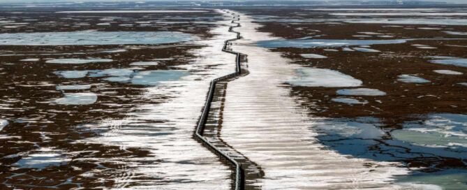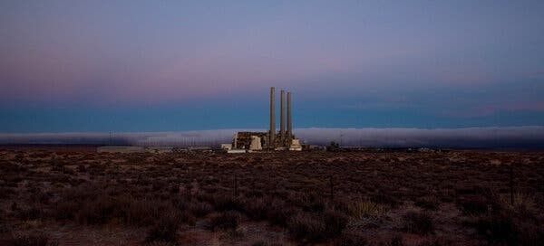
PHOTOS FROM THE FIELD: Week of November 30 – December 04, 2020
PHOTOS FROM THE FIELD
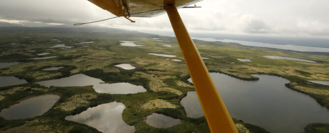
NPR – Army Corps of Engineers Denies Permit To Controversial Alaska Gold Mine
The view beneath the wing of a float plane as it flies over the wetlands, streams and lakes of Bristol Bay, Alaska. Luis Sinco/Los Angeles Times via Getty Images